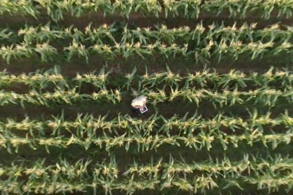
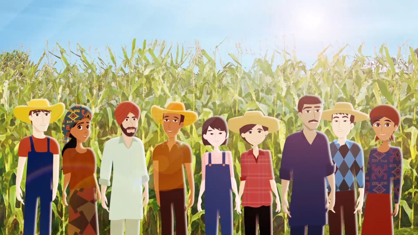
Startup Waterwatch Cooperative explains in a 1.5 minutes lasting animation how they use satellite and weather data to inform farmers and other stakeholders on the status of their crops worldwide. The animation shows how more food can be harvested while farmers use less water and pesticides. A sustainable initiatve that contributes to feeding the growing world population.
“The biggest challenge was to make the complex information clear to a broad audience” says Robin Boelsums, communications officer at Waterwatch.
And this was successful. Watch the video here: